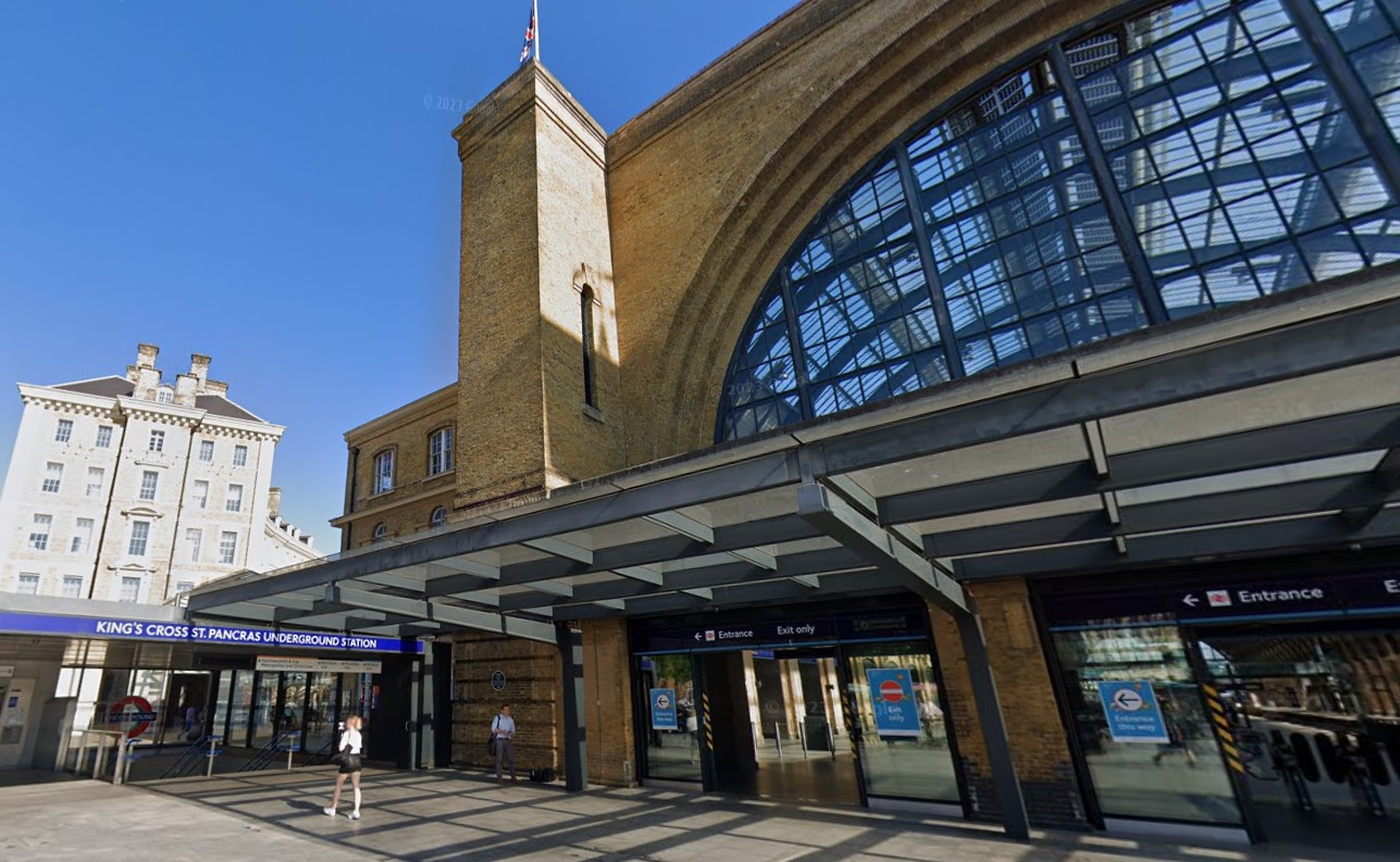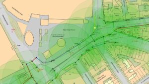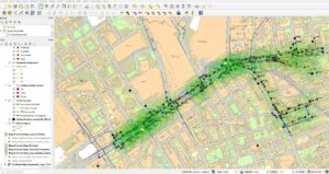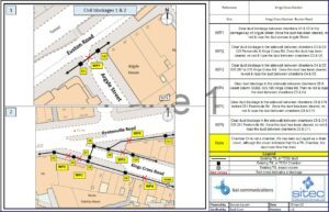
Using QGIS we overlaid the base maps with infrastructure data provided by tfl and validated on site, we then worked with our colleagues at WHP to create an interlocking mesh for mobile antenna coverage using existing street furniture to cover the desired geography.


All of the duct routes needed to be Test Rod and Roped and this could only be done at night due to the heavy footfall in the area.